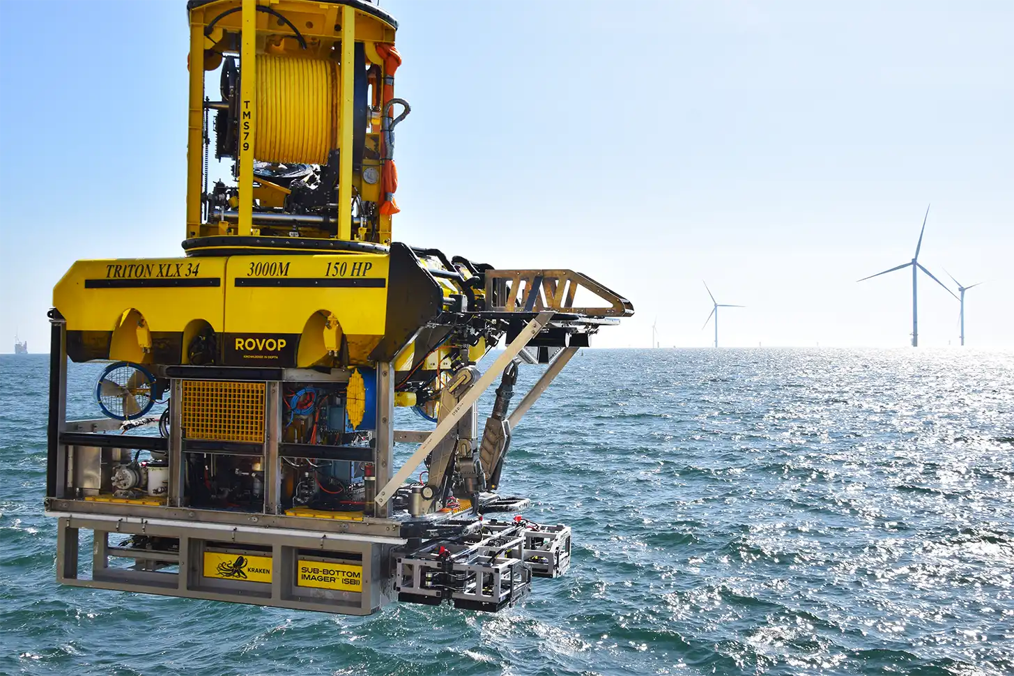
Offshore energy projects are
increasing, and the need for reliable
survey data has never been higher.
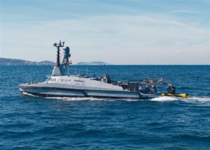
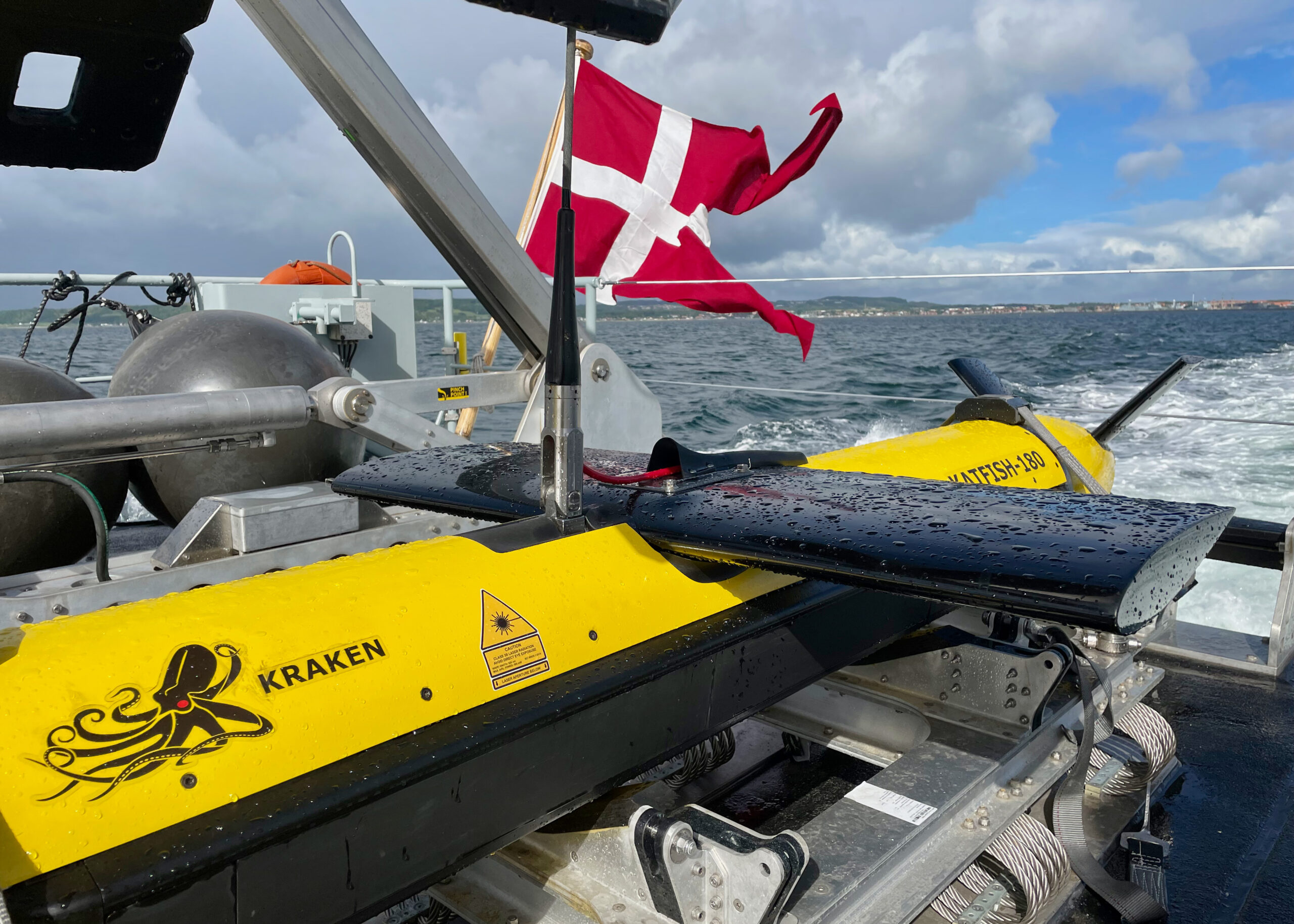
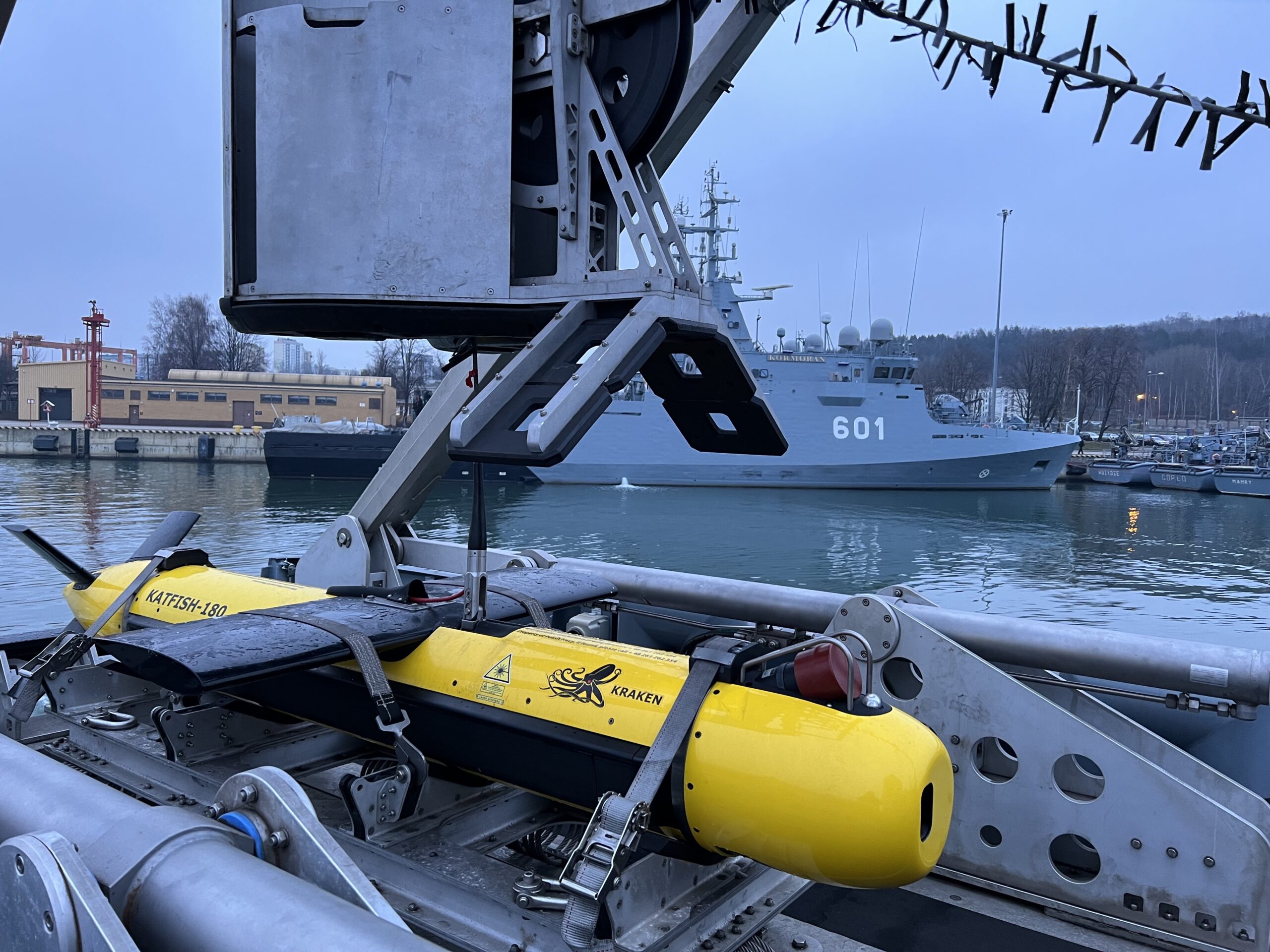
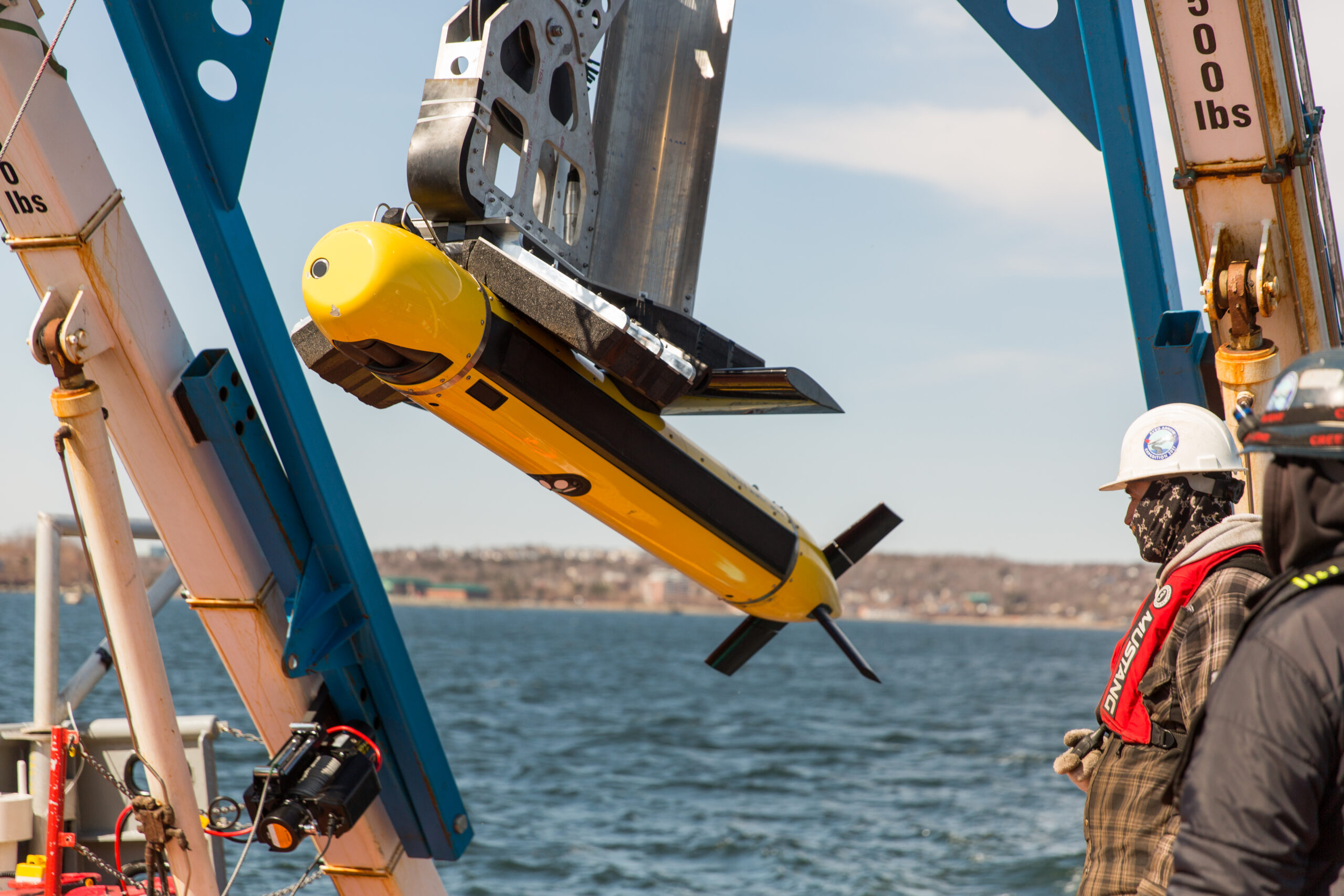
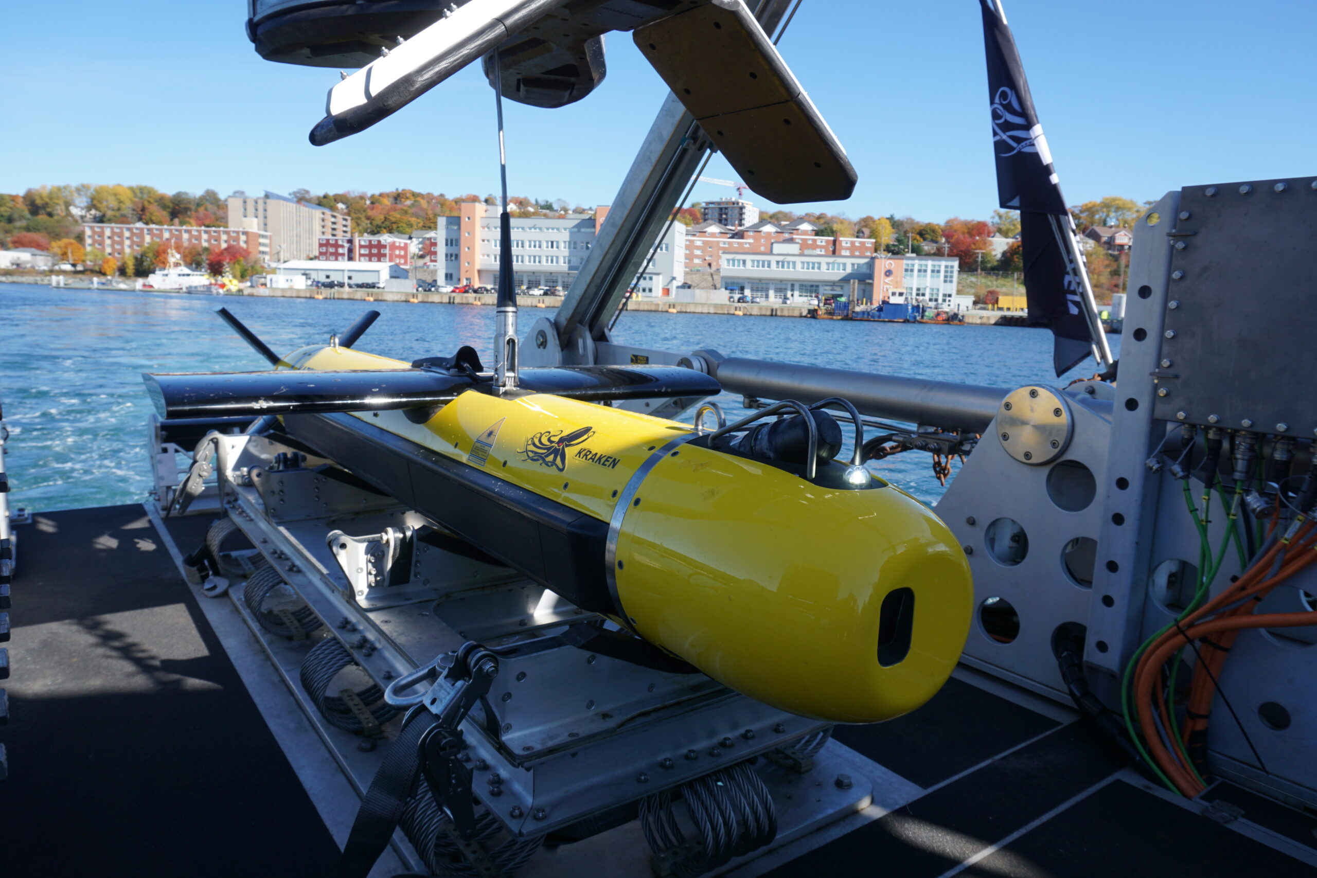
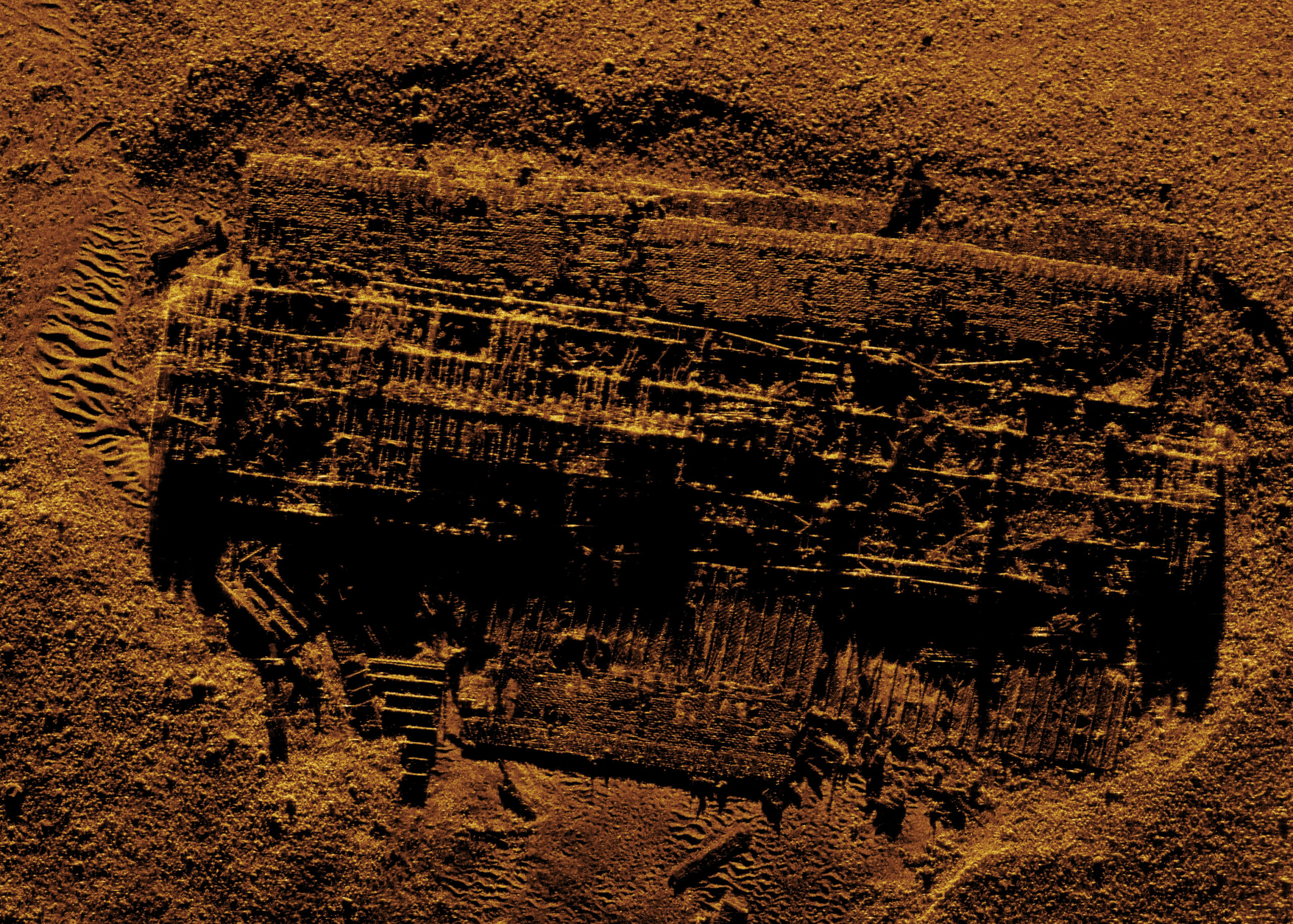
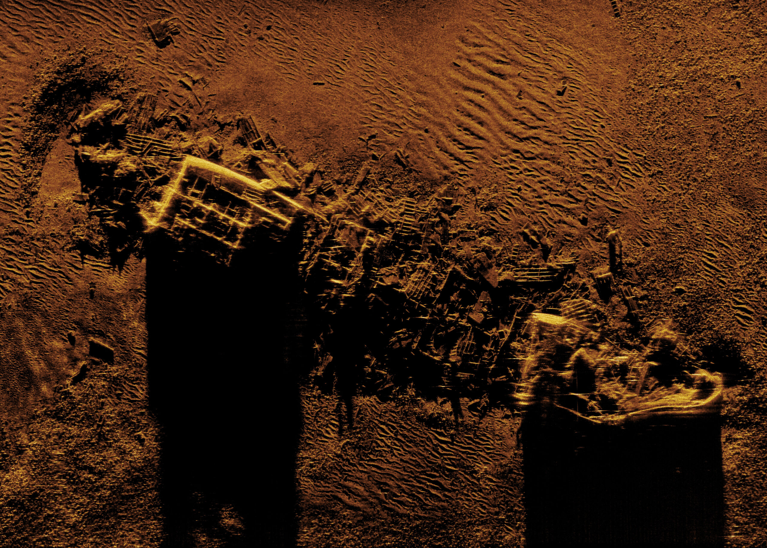
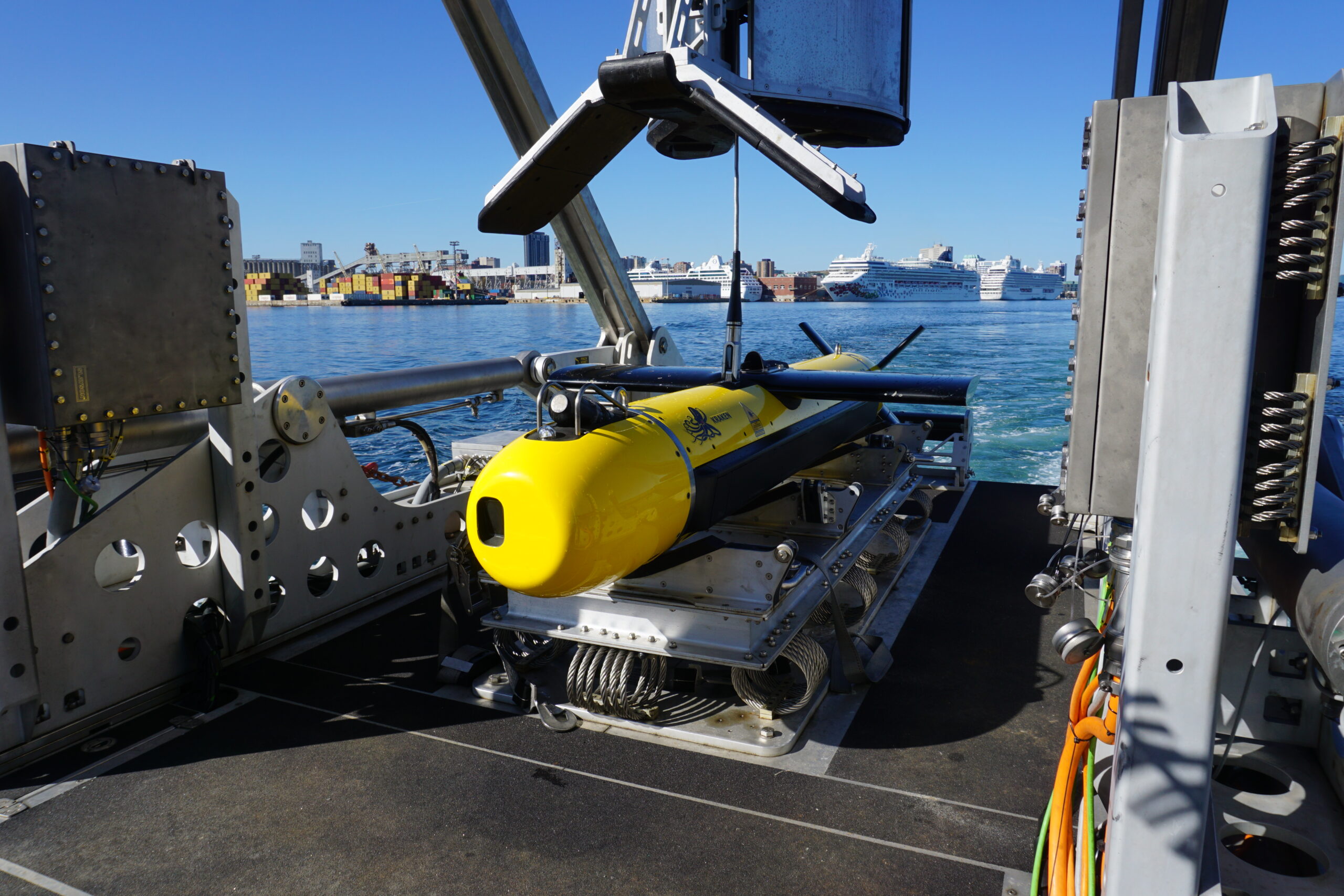
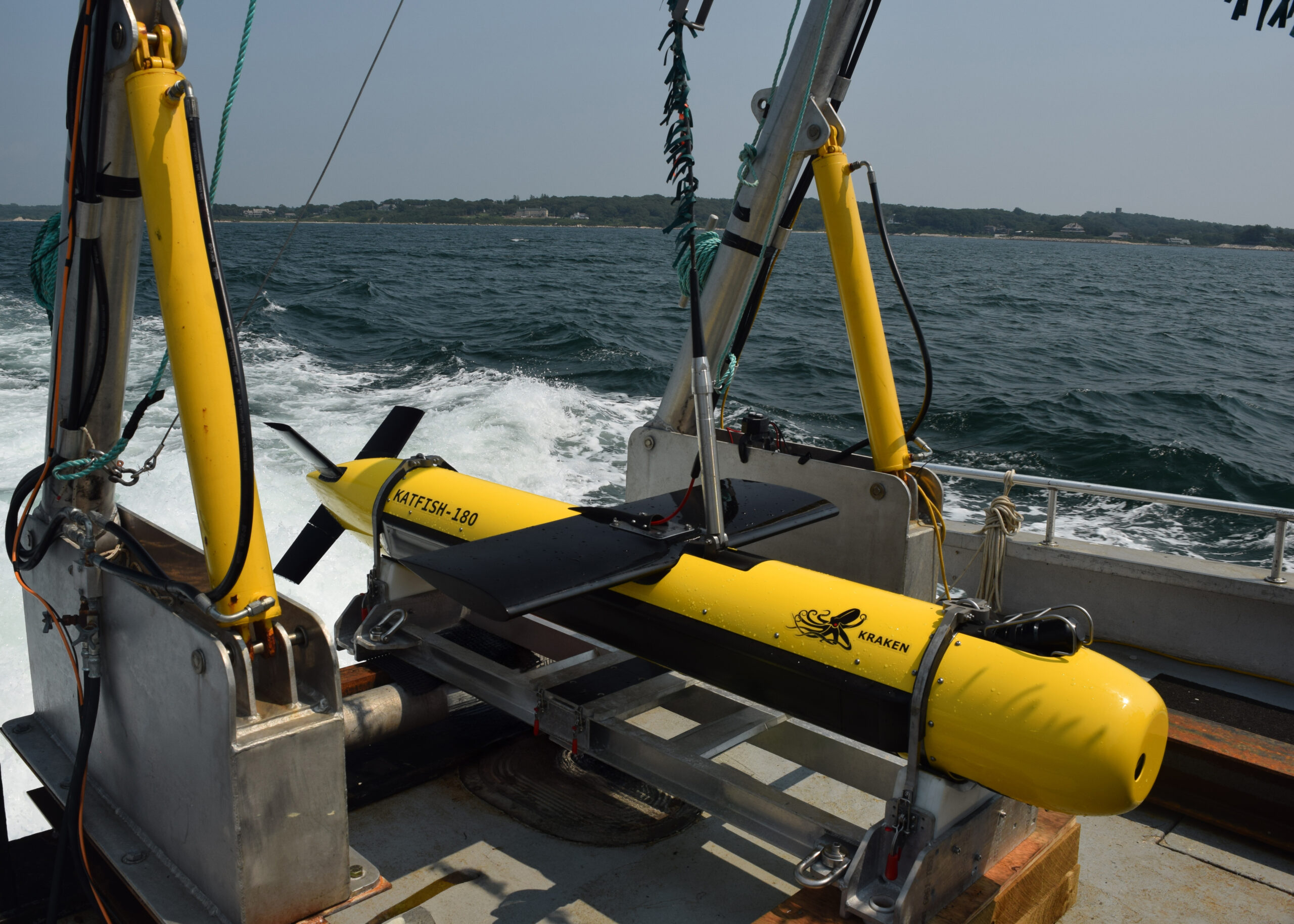
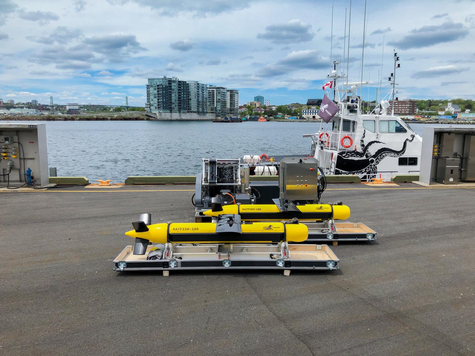
Kraken’s KATFISH towed synthetic
aperture sonar surveys can provide
significant augmentation to existing
survey operations, acquiring higher
quality, wider swaths of data at faster
speeds than towed sidescan sonar.
Survey Faster
3.5 km2/hr Area Coverage Rate
Up to 400-meter swath
Standard operations at speeds of 4-10 knots*
Integrate alongside other geophysical sensors
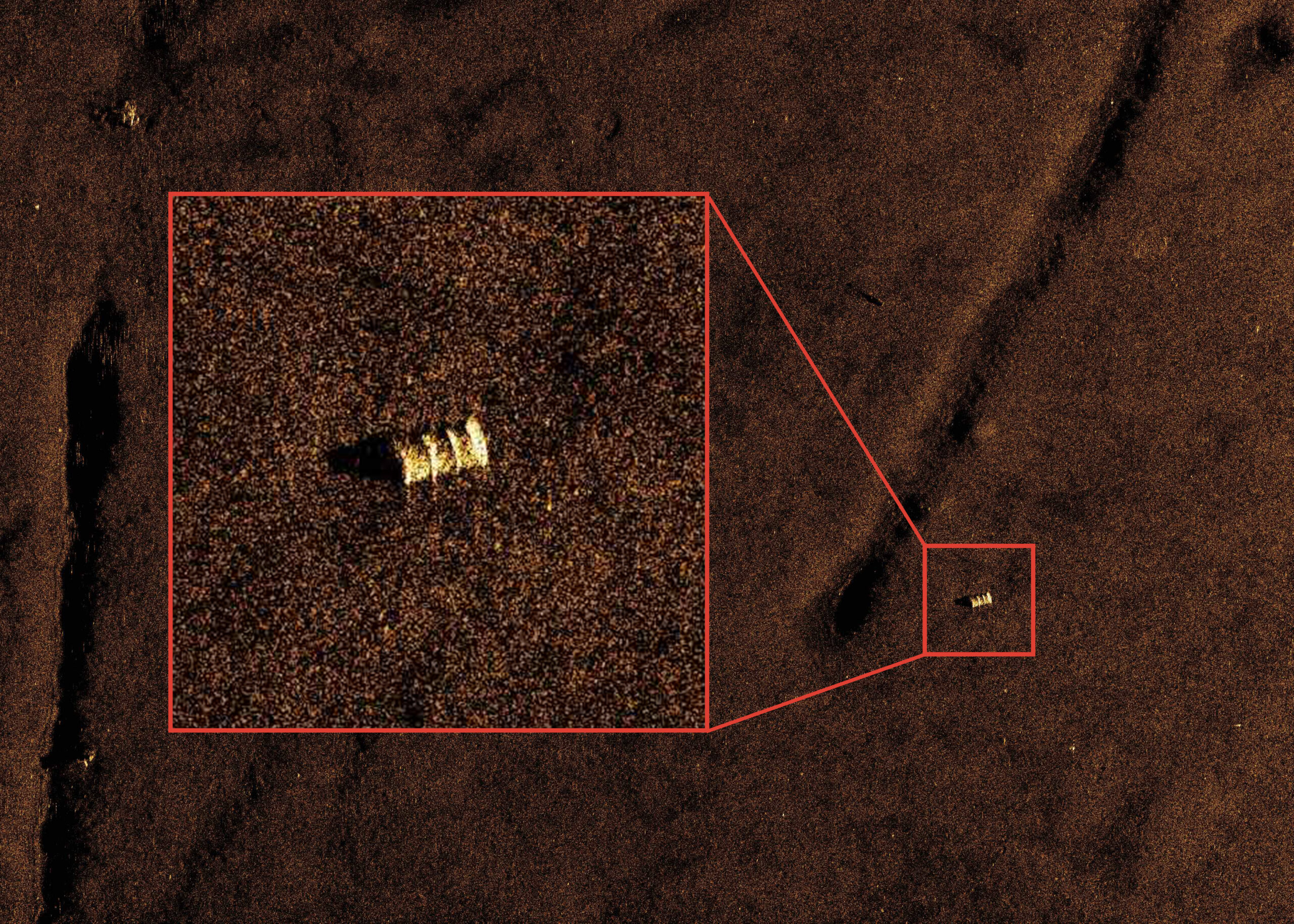
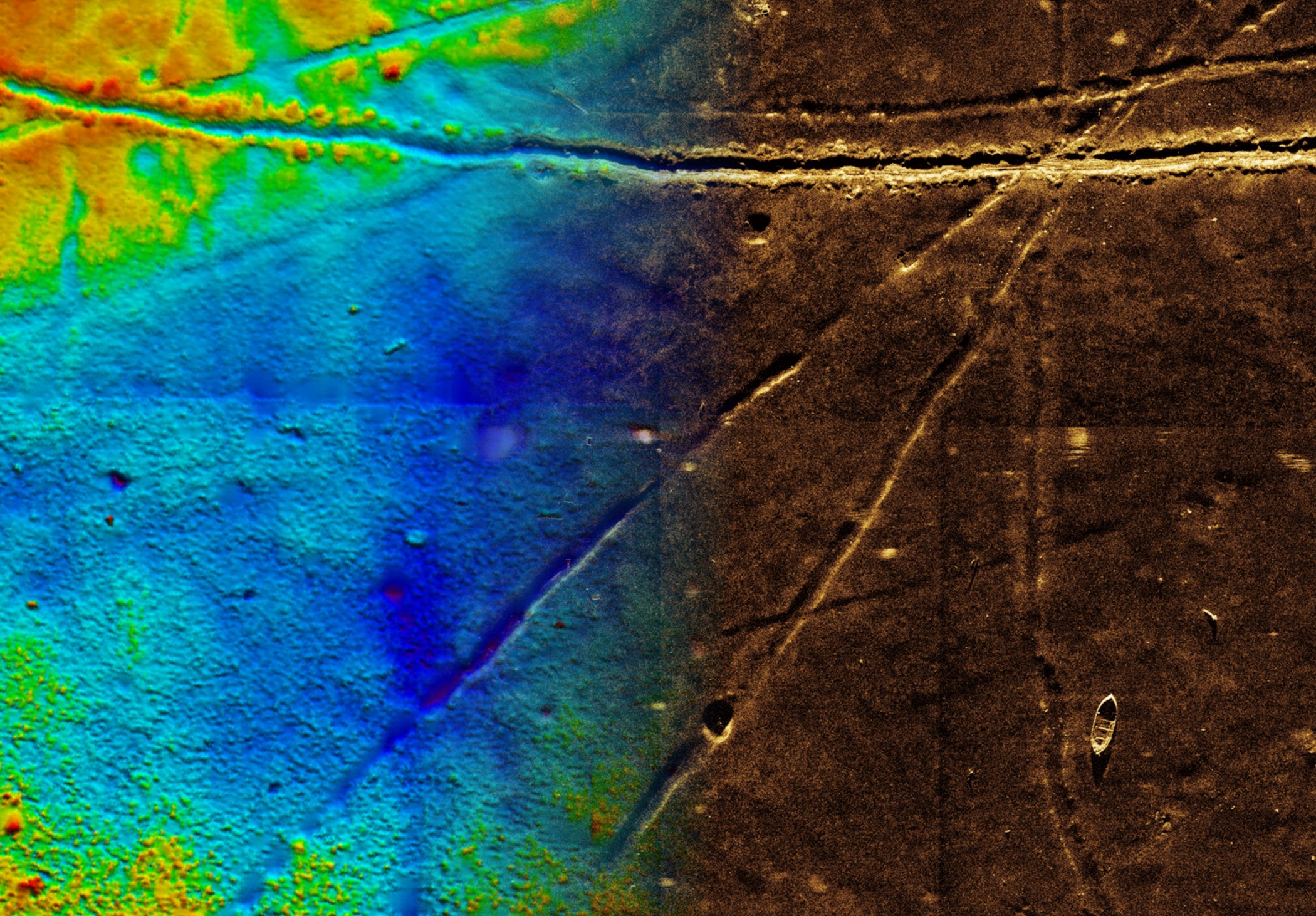
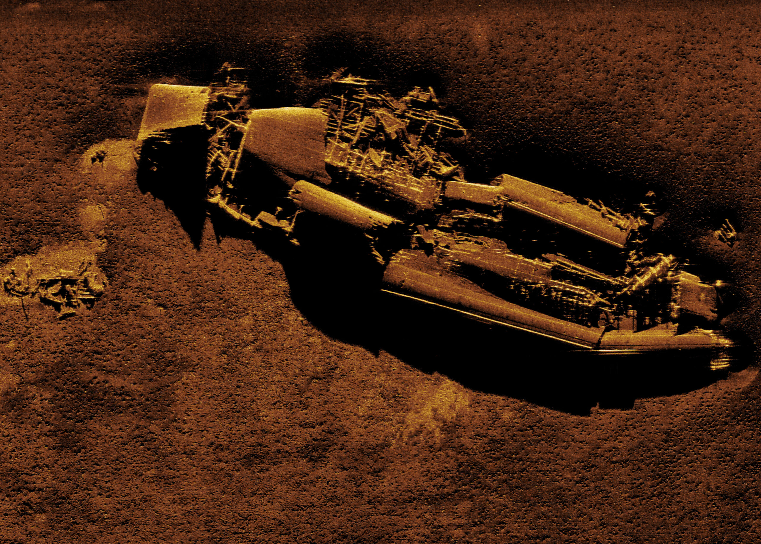
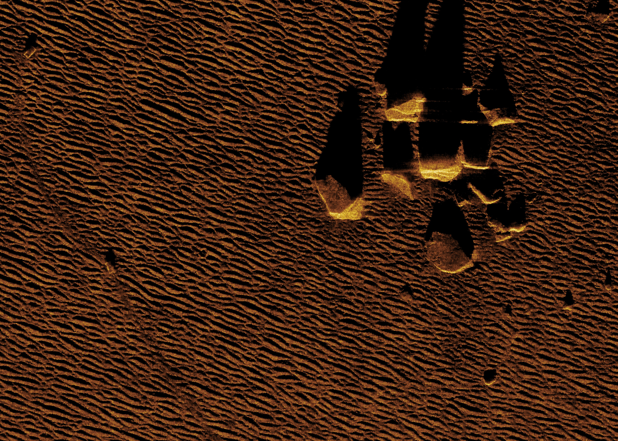
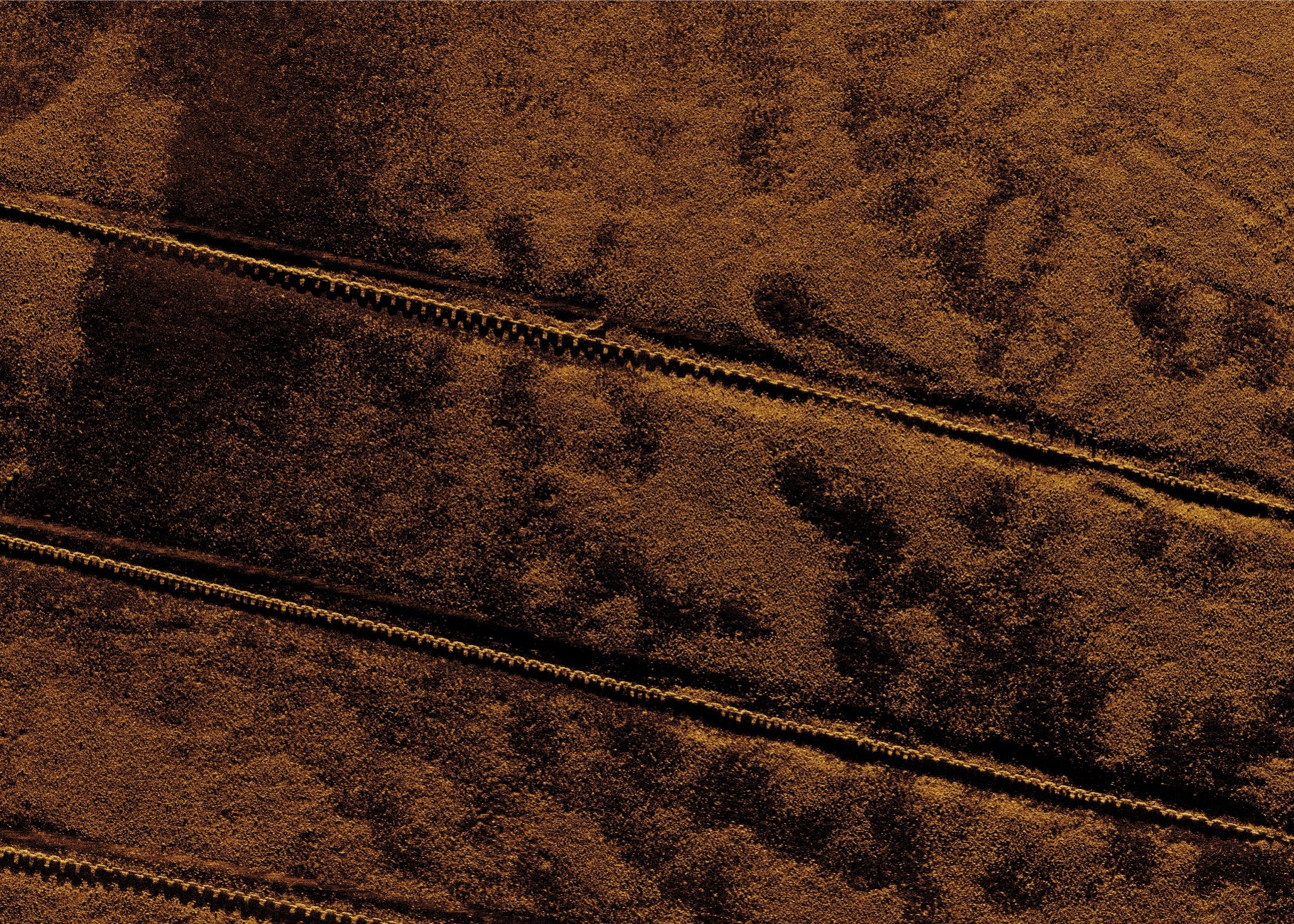
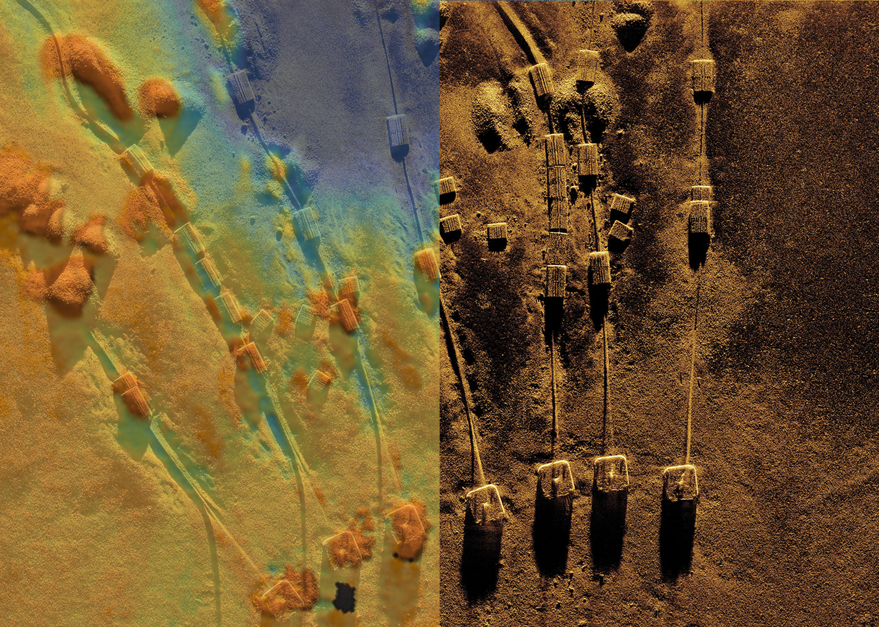
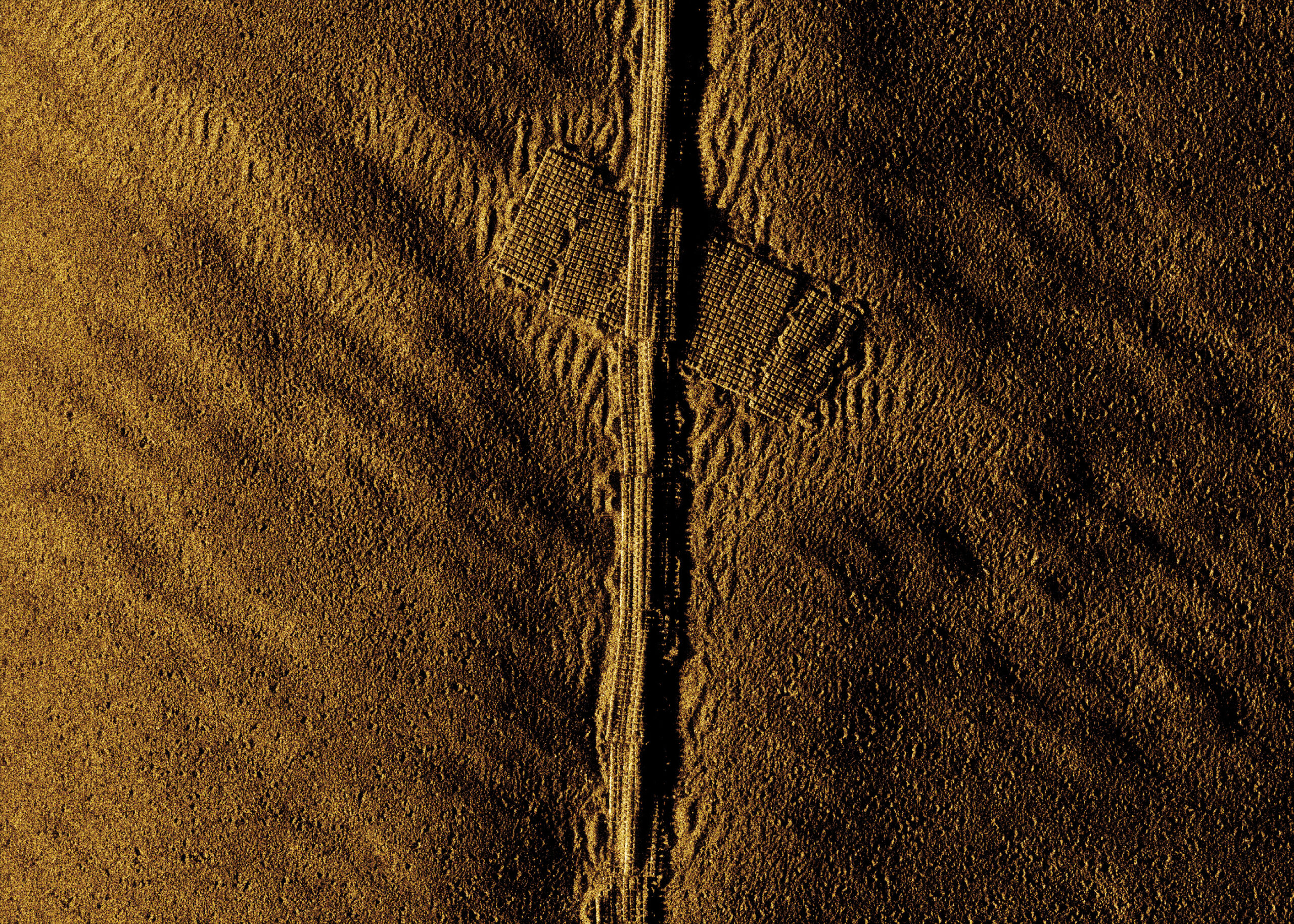
High Resolution Data
Constant real-time 3 cm x 3 cm synthetic aperture sonar imagery resolution
25 cm x 25 cm co-registered bathymetry
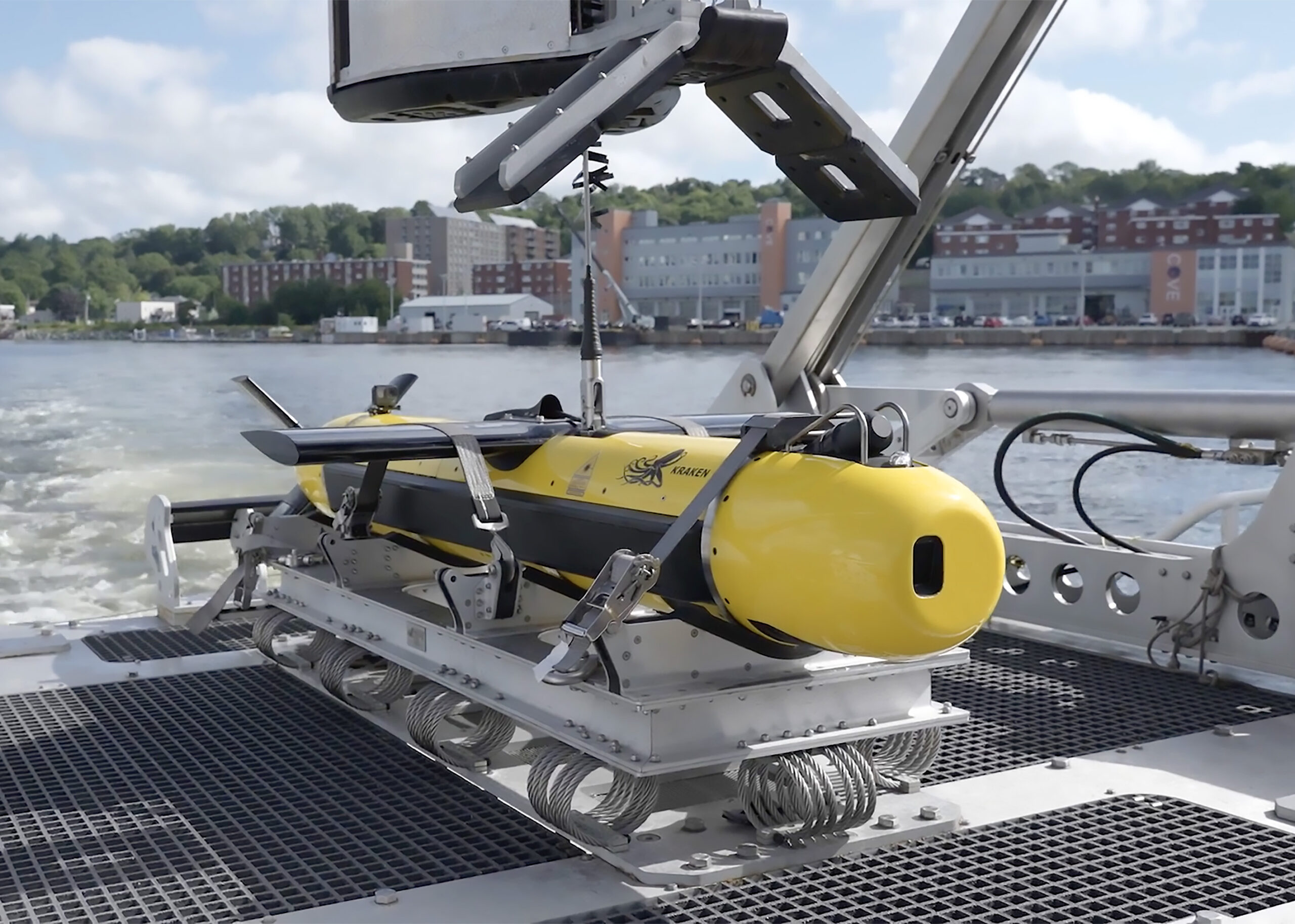
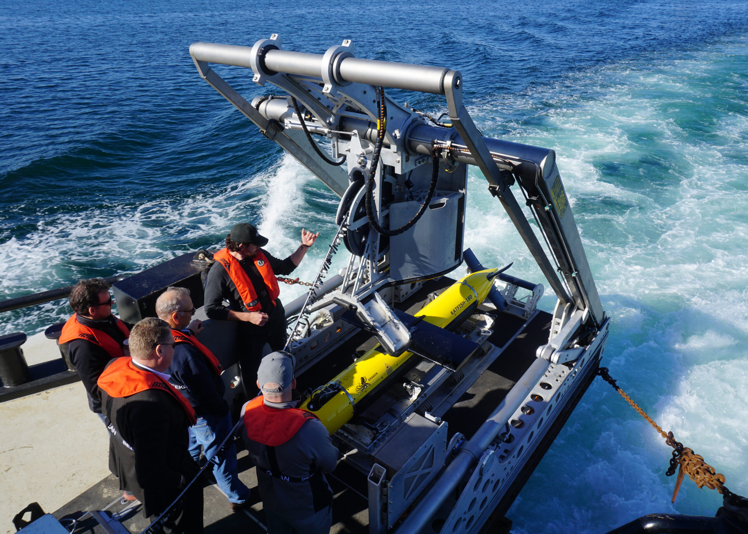
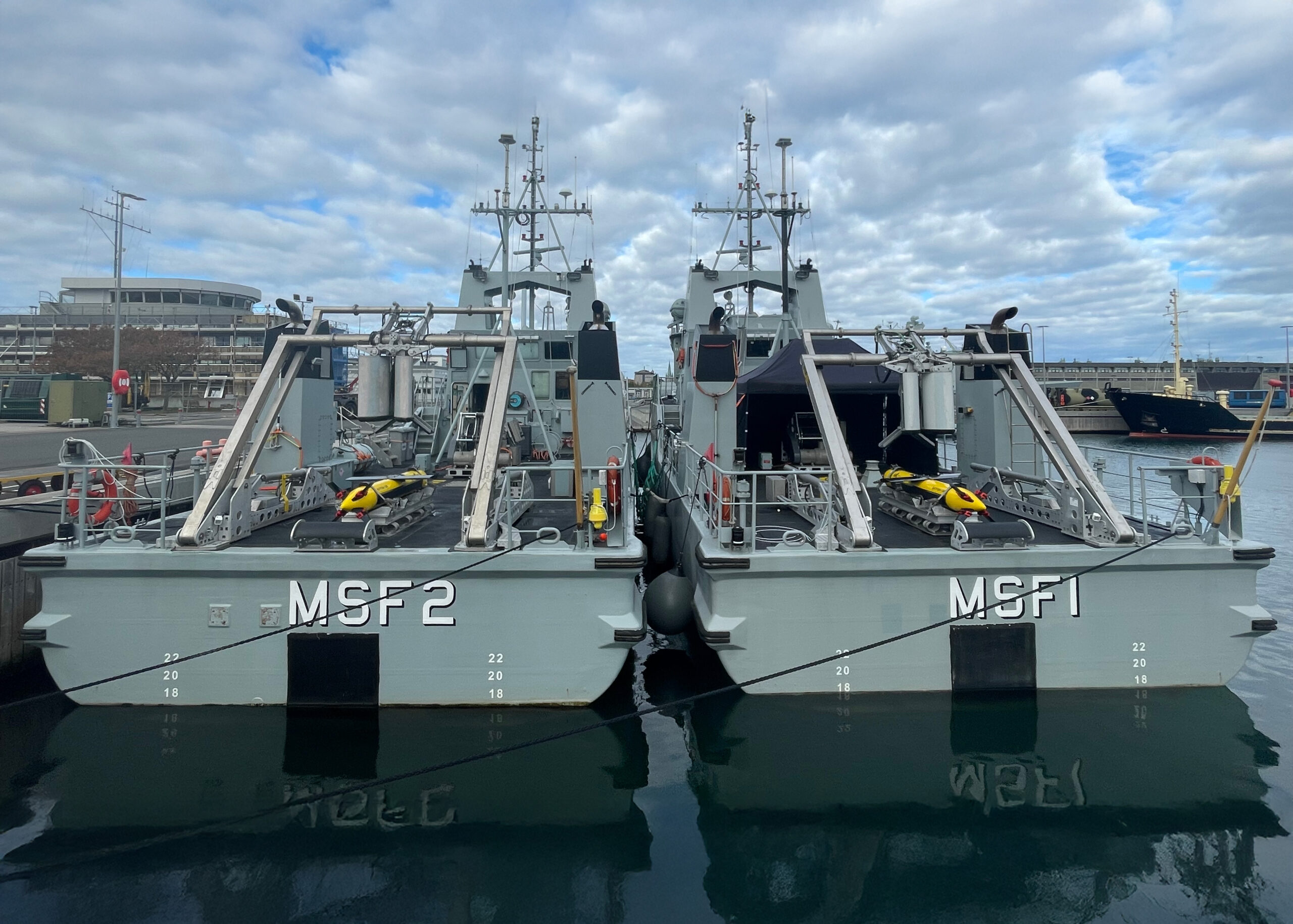
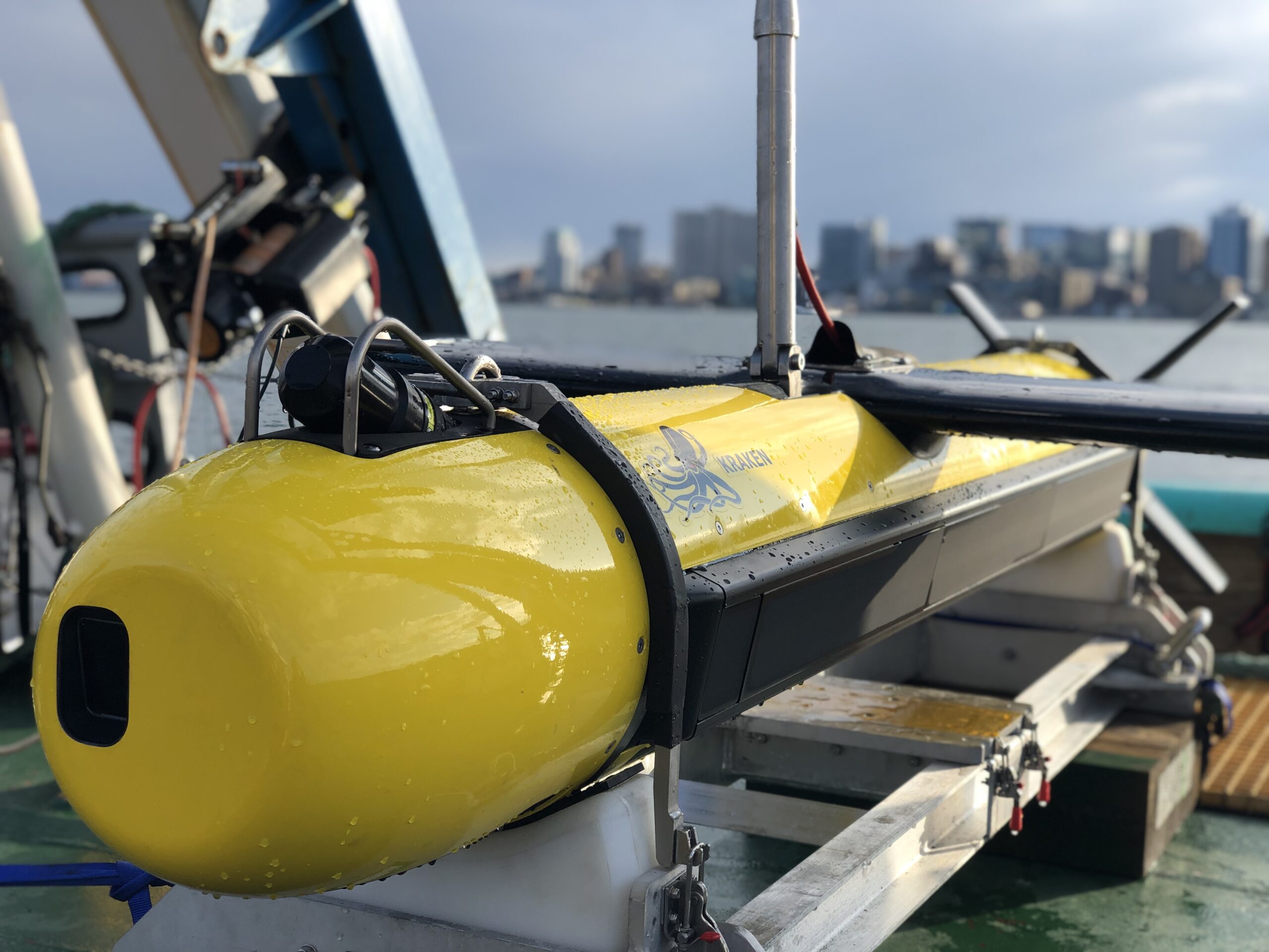
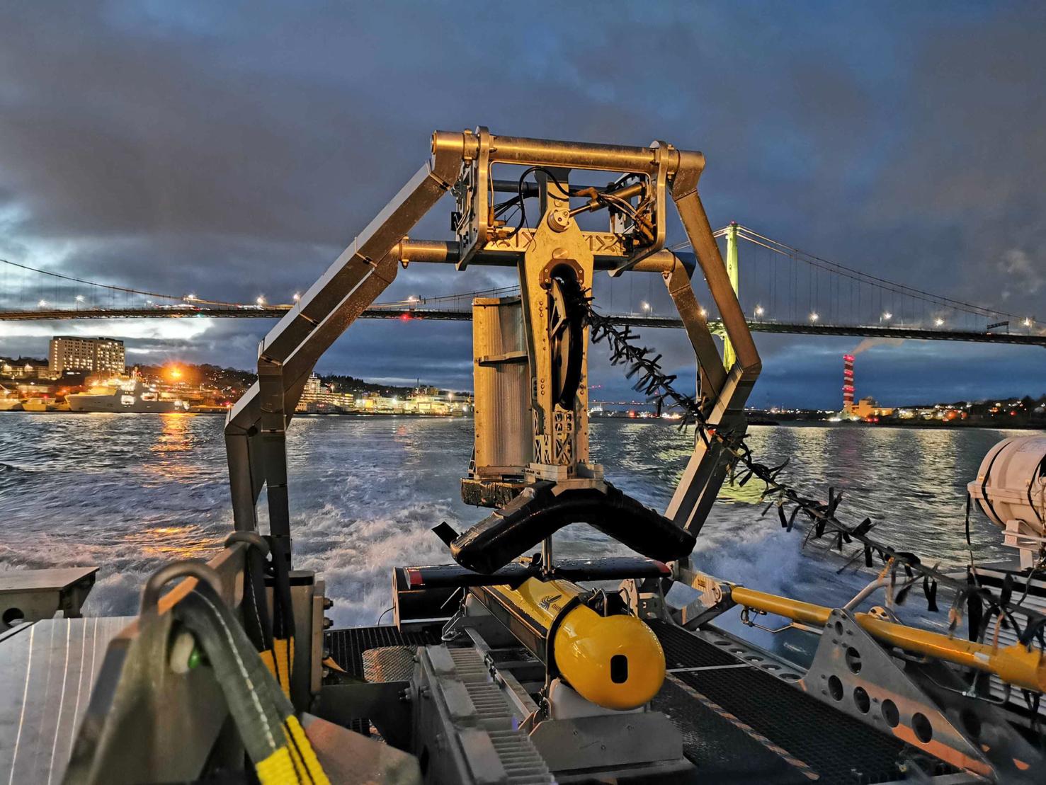
Rapid Deployment
System designed for fast modular installation and removal from survey vessels
ISO20 footprint launch and recovery system available for vessel without A-frame
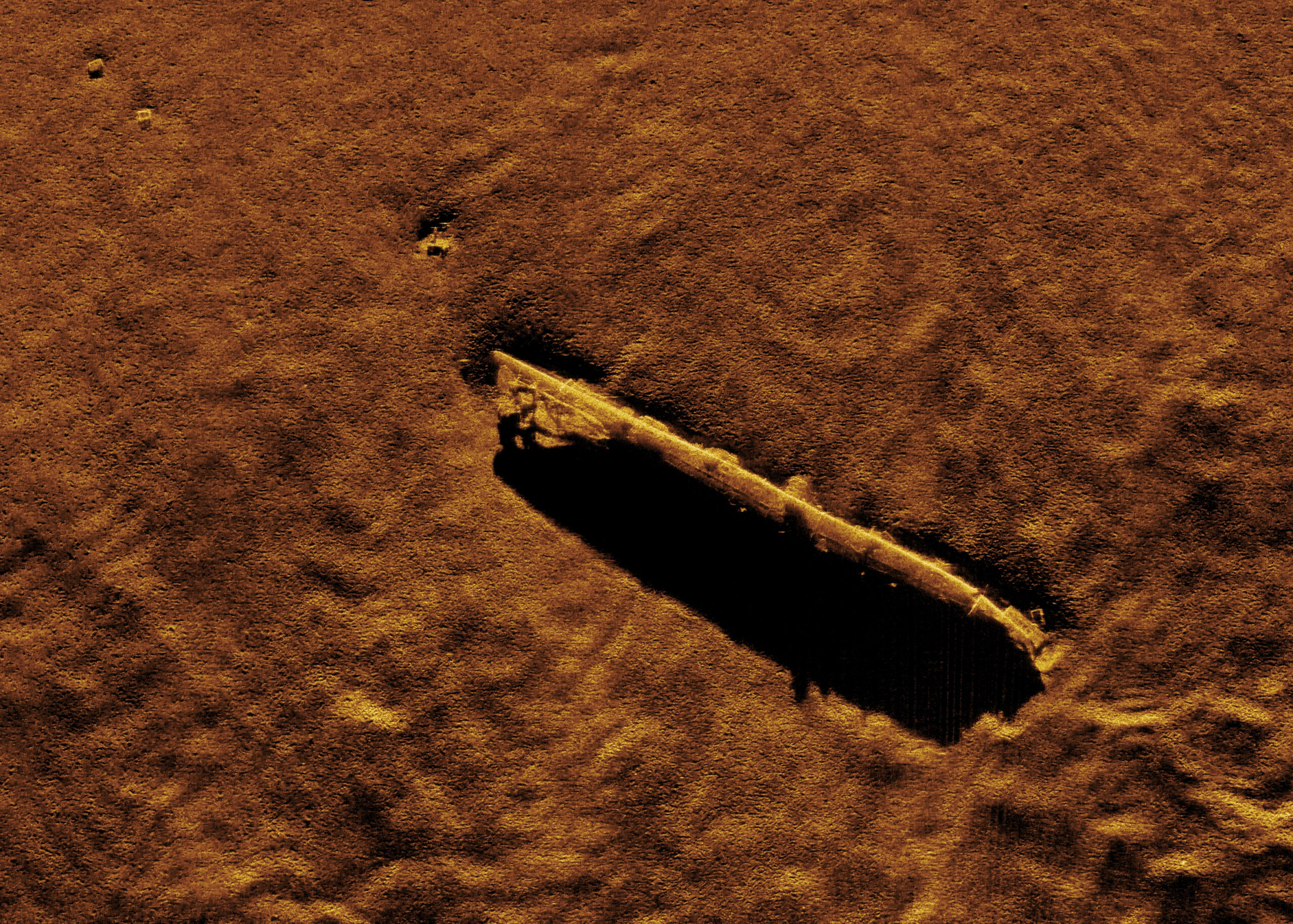
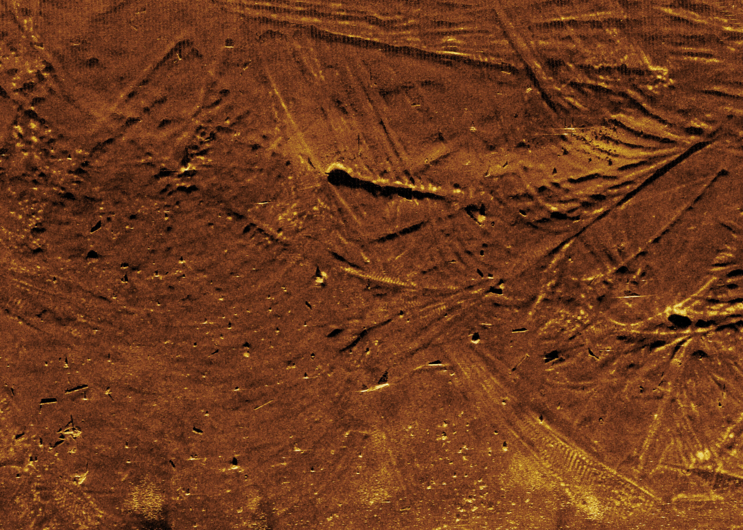
Derisk Offshore Development Projects
High resolution, real-time data enables seabed classification, target discrimination, and faster identification of risks
Interpreted results delivered by Kraken sonar experts


